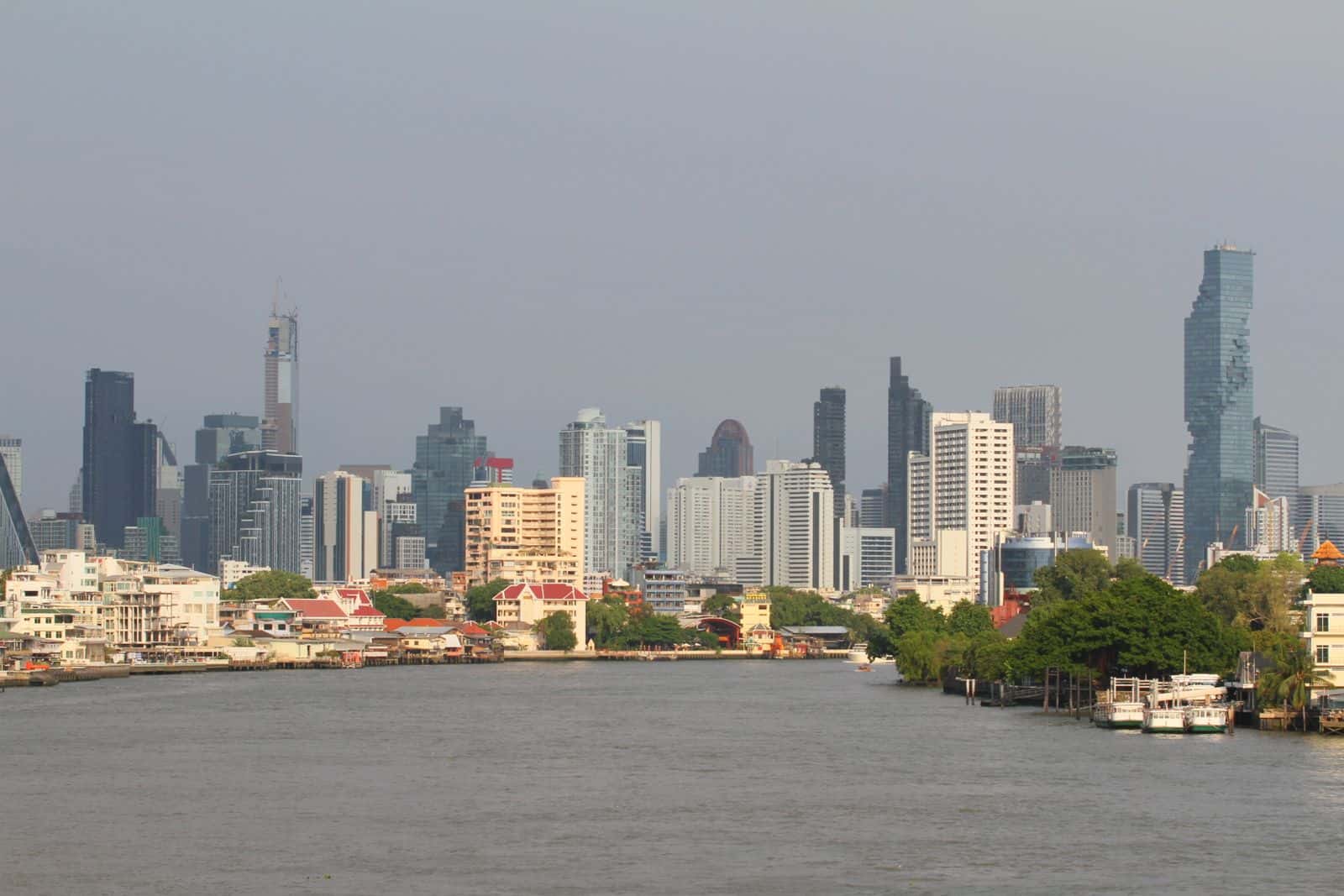
Bangkok Districts
Huai Khwang Flood Risk
Covers Rama 9, MRT hub
A central district around the Rama 9/Huai Khwang MRT hub, dense with new condo towers and inland office space.
Check a different address
This report covers a representative point in Huai Khwang. For a specific address, condo, or plot, search it directly — same free, explainable score.
Search any addressReport
Overall risk score
LOW — 32/100
Computed from 3 available factor(s), fixed and explainable weighting (details below).
Elevation
3.0m
Flood episodes
0/0
Distance to canal/river
382m
Factors included in the score
Ground elevation (weight 40%)50/100
Elevation: 3.0m — moderate (2-3m) (Bangkok average ≈ 1.5m).
Flood history (GISTDA) (weight 35%)10/100
No flood detected over the last 0 years.
Distance to nearest canal/river (weight 25%)35/100
« คลองชวดบางจาก » at 382m.